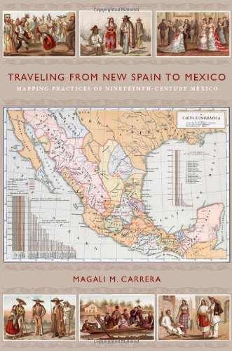
Traveling from New Spain to Mexico: Mapping Practices of Nineteenth-Century Mexico
Mapping Practices of Nineteenth-Century Mexico
by Magali M. Carrera
From the sixteenth century until the early nineteenth, Europeans had envisioned New Spain (colonial Mexico) in texts, maps, and other images. In the first decades of the 1800s, ideas about Mexican, rather than Spanish, national character and identity began to cohere in written and illustrated narratives produced by foreign travelers. During the nineteenth century, technologies and processes of visual reproduction expanded to include lithography, daguerreotype, and photography. New methods of display—such as albums, museums, exhibitions, and world fairs—signaled new ideas about spectatorship. García Cubas participated in this emerging visual culture as he reconfigured geographic and cultural imagery culled from previous mapping practices and travel writing. In works such as the Atlas geográfico (1858) and the Atlas pintoresco é historico (1885), he presented independent Mexico to Mexican citizens and the world.
Discuss Traveling from New Spain to Mexico: Mapping Practices of Nineteenth-Century Mexico with other readers
Join or start a book club for Traveling from New Spain to Mexico: Mapping Practices of Nineteenth-Century Mexico on Readfeed. Live chat, shared reading progress, and AI discussion questions — free to get started.
Frequently asked questions
How do I join a book club for Traveling from New Spain to Mexico: Mapping Practices of Nineteenth-Century Mexico?
Sign up free on Readfeed, then browse public clubs or start your own club with Traveling from New Spain to Mexico: Mapping Practices of Nineteenth-Century Mexico as the current read. Invite friends with a share link and discuss together with live chat and AI discussion questions.
Can I discuss Traveling from New Spain to Mexico: Mapping Practices of Nineteenth-Century Mexico with other readers online?
Yes. Readfeed book clubs let you chat live, share progress, and join discussions about Traveling from New Spain to Mexico: Mapping Practices of Nineteenth-Century Mexico with readers worldwide — whether your club is virtual, in-person, or hybrid.
Is Readfeed free?
Yes. Creating an account and joining book clubs is free. Sign up to find readers who love the same books and start discussing today.