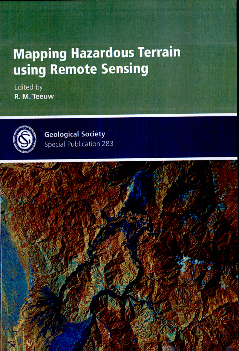
Mapping Hazardous Terrain Using Remote Sensing

Mapping Hazardous Terrain Using Remote Sensing

by R. M. Teeuw

169 pages· 2007· ISBN 9781862392298

Browse books you can read free on Readfeed

About
The dangers that we face from geohazards appear to be getting worse, especially with the impact of increasing population and global climate change. This collection of papers illustrates how remote sensing technologies - measuring, mapping and monitoring the Earth's surface from aircraft or satellites - can help us to rapidly detect and better manage geohazards. The hazardous terrains examined include areas of landslides, flooding, erosion, contaminated land, shrink-swell clays, subsidence, seismic activity and volcanic landforms. Key aspects of remote sensing are introduced, making this a book that can easily be read by those who are unfamiliar with remote sensing. The featured remote sensing systems include aerial photography and photogrammetry, thermal scanning, hyperspectral sensors, airborne laser altimetry (LiDAR), radar interferometry and multispectral satellites (Landsat, ASTER). Related technologies and methodologies, such as the processing of Digital Elevation Models and data analysis using Geographical Information Systems, are also discussed.

Discuss Mapping Hazardous Terrain Using Remote Sensing with other readers

Join or start a book club for Mapping Hazardous Terrain Using Remote Sensing on Readfeed. Live chat, shared reading progress, and AI discussion questions — free to get started.

Frequently asked questions

How do I join a book club for Mapping Hazardous Terrain Using Remote Sensing?

Sign up free on Readfeed, then browse public clubs or start your own club with Mapping Hazardous Terrain Using Remote Sensing as the current read. Invite friends with a share link and discuss together with live chat and AI discussion questions.

Can I discuss Mapping Hazardous Terrain Using Remote Sensing with other readers online?

Yes. Readfeed book clubs let you chat live, share progress, and join discussions about Mapping Hazardous Terrain Using Remote Sensing with readers worldwide — whether your club is virtual, in-person, or hybrid.

Is Readfeed free?

Yes. Creating an account and joining book clubs is free. Sign up to find readers who love the same books and start discussing today.