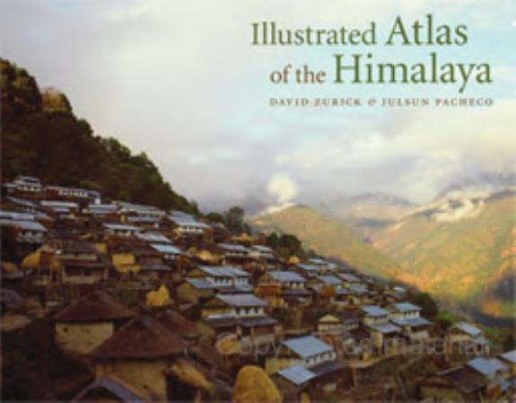
Illustrated Atlas of the Himalaya

Illustrated Atlas of the Himalaya

by David Zurick

228 pages· 2006· ISBN 9780813173849

Browse books you can read free on Readfeed

No club is reading this yet — be the first to start one

Start a club free
About
The Himalaya are world-renowned for their exquisite mountain scenery, ancient traditions, and diverse ethnic groups that tenaciously inhabit this harsh yet sublime landscape. Home to the world’s highest peaks, including Mount Everest, and some of its deepest gorges, the region is a trove of biological and cultural diversity. Providing a panoramic overview of contemporary land and life in the Earth’s highest mountains, the Illustrated Atlas of the Himalaya is the first full-color, comprehensive atlas of the geography, economics, politics, and culture of this spectacular area. Drawing from the authors’ twenty-five years of scholarship and field experience in the region, the volume contains a stunning and unique collection of maps utilizing state-of-the-art cartography, exquisite photography, and engagingly-written text to give accurate coverage of the Himalaya. The volume covers the entire 2,700-kilometer length of the mountain range, from the Indus Valley in northern Pakistan and India, across Nepal and Bhutan, to the hidden realms of northeast India. The Illustrated Atlas of the Himalaya not only offers detailed explanations of geological formations, climate, vegetation, and natural resources but also explores the human dimension of the region’s culture and economy. The authors devote special attention to discovery and travel, including exploration, mountaineering, and trekking. Packed with over 300 easy-to-read, custom designed full color maps and photographs and detailed text and map indexes, the Illustrated Atlas of the Himalaya is a superb collector’s volume and an essential reference to this vast and complex mountain region.

Discuss Illustrated Atlas of the Himalaya with other readers

Join or start a book club for Illustrated Atlas of the Himalaya on Readfeed. Live chat, shared reading progress, and AI discussion questions — free to get started.

Frequently asked questions

How do I join a book club for Illustrated Atlas of the Himalaya?

Sign up free on Readfeed, then browse public clubs or start your own club with Illustrated Atlas of the Himalaya as the current read. Invite friends with a share link and discuss together with live chat and AI discussion questions.

Can I discuss Illustrated Atlas of the Himalaya with other readers online?

Yes. Readfeed book clubs let you chat live, share progress, and join discussions about Illustrated Atlas of the Himalaya with readers worldwide — whether your club is virtual, in-person, or hybrid.

Is Readfeed free?

Yes. Creating an account and joining book clubs is free. Sign up to find readers who love the same books and start discussing today.