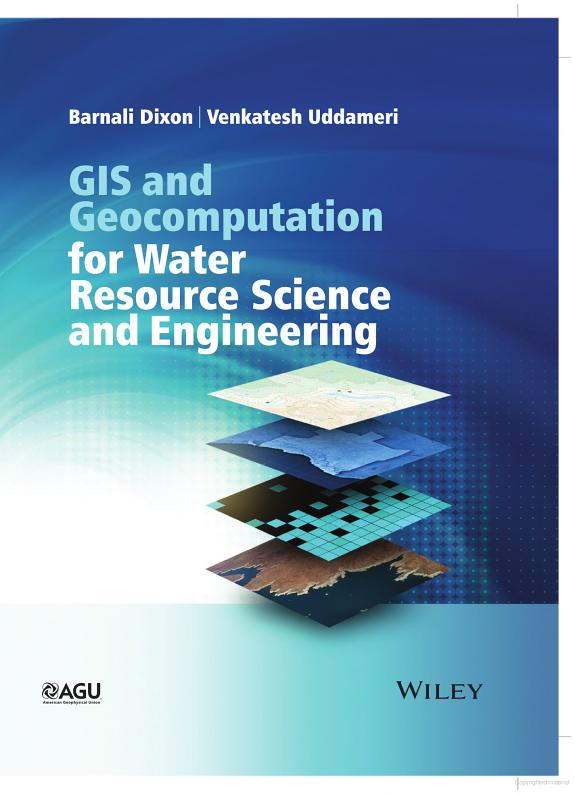
GIS and Geocomputation for Water Resource Science and Engineering

GIS and Geocomputation for Water Resource Science and Engineering

by Barnali Dixon, Venkatesh Uddameri, Chittaranjan Ray

504 pages· 2015· ISBN 9781118354148

Browse books you can read free on Readfeed

No club is reading this yet — be the first to start one

Start a club free
About
The purpose of this book is to bridge the gap between the fundamentals of GIS and applications of this technology to the practice of environmental engineering and science. Students are provided a complete picture of GIS including data availability and fundamental spatial analysis techniques using hands-on environmental applications. A series of case-studies are used to demonstrate how GIS can enhance environmental science and engineering design and analysis. This combination of active GIS learning supplemented with case-study based reinforcement helps the student (and the practitioner) not only understand the fundamental concepts but also see how they can be used in real-world applications. This book will encompass a broad range of topics that will comprehensively cover both the fundamental and applied aspects of geographic information systems (GIS), with a specific focus on environmental and water resources applications. By providing a focus on coupling GIS with other innovative information-theoretic tools such as fuzzy logic, neural networks and support vector machines the book will demonstrate how these GIS technologies can be used to harness increasingly available digital data to develop spatially-oriented sustainable solutions. This textbook aims to: (i) Introduce foundations of spatial analysis including raster and vector representations and relational databases. (ii) Integrate environmental modeling and GIS concepts. (iii) Discuss benefits and challenges of environmental and water resources GIS applications, including a thorough discussion on estimation accuracy, precision, scaling and data consistency issues. (iv) Demonstrate advanced GIS skills related to terrain and network analysis. (v) Include a chapter on three dimensional visualization and integrating with remote-sensing data. (vi) Combine environmental GIS applications with other information-theoretic approaches such as artificial neural networks and fuzzy logic. A series of case-studies are used to demonstrate how GIS can enhance environmental science and engineering design and analysis. This combination of active GIS learning supplemented with case-study based reinforcement helps the student (and the practitioner) not only understand the fundamental concepts but also see how they can be used in real-world applications. This proposed book package (including web-based materials) will include power-point lecture outlines; outlines for a potential syllabus (a semester-long) course at the undergraduate and graduate levels; data for applications and example exercises and software-based instructions for the case studies. This information should facilitate the hands-on learning approach to be adopted in the text. The authors note.. If someone does not have access to GIS in the classroom (as in many developing nations) they can still learn the theory of GIS and its application through case studies for environmental and watershed modeling and management. This means students can be tested on the theory if they use this book as a text – yet they will have the opportunity to develop limited understanding of applications (despite the lack of software). The textbook will not emphasize a particular GIS software, so the examples and knowledge gained can be applied with any GIS software and there are a few free GIS software that students and faculty in developing countries can use along with the text. We will provide a list of free software (open source) (for GIS as well as AI tools – such as Fuzzy Logic, Neural Networks, Neuro-fuzzy and Support Vector Machines).

Discuss GIS and Geocomputation for Water Resource Science and Engineering with other readers

Join or start a book club for GIS and Geocomputation for Water Resource Science and Engineering on Readfeed. Live chat, shared reading progress, and AI discussion questions — free to get started.

Frequently asked questions

How do I join a book club for GIS and Geocomputation for Water Resource Science and Engineering?

Sign up free on Readfeed, then browse public clubs or start your own club with GIS and Geocomputation for Water Resource Science and Engineering as the current read. Invite friends with a share link and discuss together with live chat and AI discussion questions.

Can I discuss GIS and Geocomputation for Water Resource Science and Engineering with other readers online?

Yes. Readfeed book clubs let you chat live, share progress, and join discussions about GIS and Geocomputation for Water Resource Science and Engineering with readers worldwide — whether your club is virtual, in-person, or hybrid.

Is Readfeed free?

Yes. Creating an account and joining book clubs is free. Sign up to find readers who love the same books and start discussing today.